Lots of good information online. It looks like we have a campsite near North Charleston. I'm still trying to get a timeline on how long it will take us to travel to the campsite.
Plan so far:
Saturday:
8:45AM - Meet at Exit 33 gas station at the old Huddle house ready
9:00AM - Leave Exit 33 on the route
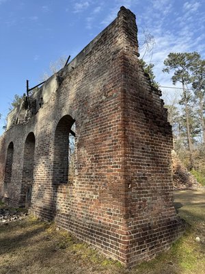
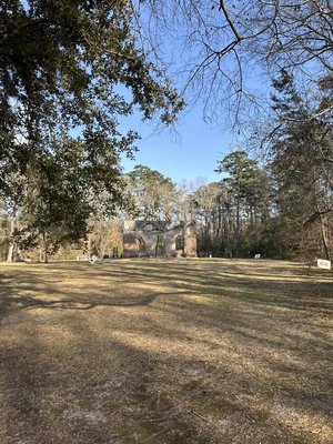
Noonish - Stop for picnic lunch at Barnwell State Park (Free Admission) or Battle of Rivers Bridge Historic Site or Colleton State Park
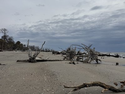
Evening - Edisto Beach and Botany Bay
Dinner - Roxbury Mercantile, or McConkeys Jungle Shack near Edisto
Head to Camp or the Hotel
Sunday:
Breakfast at Camp OYO
Hit the trail for a little more just north of Charleston depending on weather.
Noonish - Head back toward Columbia.
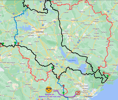
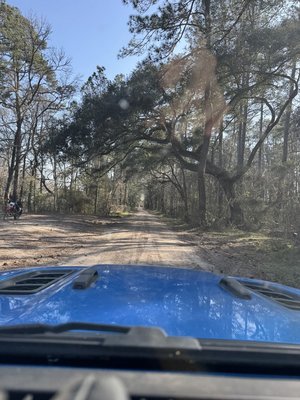
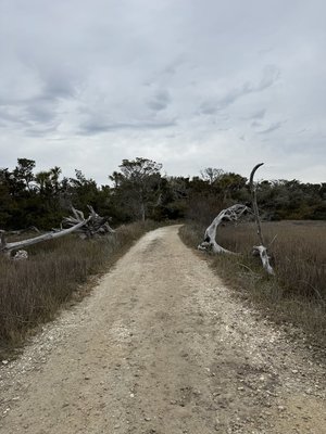
The South Carolina Adventure Route (SCAR) loops through approximately 1,000 miles of rural South Carolina. Follow it, and you will see mountains, ocean, forests, countryside, state parks, historical sites, and quaint towns--all on a mix of paved and un-paved public roads (approximately 55%/45%). The SCAR also connects to the Smokey Mountains 500, the Georgia Traverse, and the Trans-America Trail (TAT), providing TAT riders with an additional rural coast-to-coast option. SCAR GPS files (.gpx tracks) are available on the "Download" page of this site.
https://www.scadventuresroute.com/interactive
https://www.google.com/maps/d/edit?mid=19eodqCnIqDbMBdgWiPJ4uuZ5RS6q16I&usp=sharing
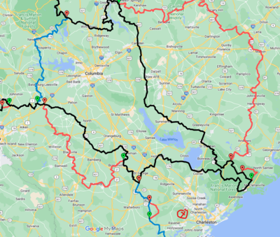
X marks the proposed Campsite.
Plan so far:
Saturday:
8:45AM - Meet at Exit 33 gas station at the old Huddle house ready
9:00AM - Leave Exit 33 on the route
Noonish - Stop for picnic lunch at Barnwell State Park (Free Admission) or Battle of Rivers Bridge Historic Site or Colleton State Park
Evening - Edisto Beach and Botany Bay
Dinner - Roxbury Mercantile, or McConkeys Jungle Shack near Edisto
Head to Camp or the Hotel
Sunday:
Breakfast at Camp OYO
Hit the trail for a little more just north of Charleston depending on weather.
Noonish - Head back toward Columbia.
The South Carolina Adventure Route (SCAR) loops through approximately 1,000 miles of rural South Carolina. Follow it, and you will see mountains, ocean, forests, countryside, state parks, historical sites, and quaint towns--all on a mix of paved and un-paved public roads (approximately 55%/45%). The SCAR also connects to the Smokey Mountains 500, the Georgia Traverse, and the Trans-America Trail (TAT), providing TAT riders with an additional rural coast-to-coast option. SCAR GPS files (.gpx tracks) are available on the "Download" page of this site.
https://www.scadventuresroute.com/interactive
https://www.google.com/maps/d/edit?mid=19eodqCnIqDbMBdgWiPJ4uuZ5RS6q16I&usp=sharing

X marks the proposed Campsite.
Last edited:

