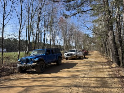
We have discussed this trip a few times at the meeting.
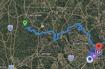
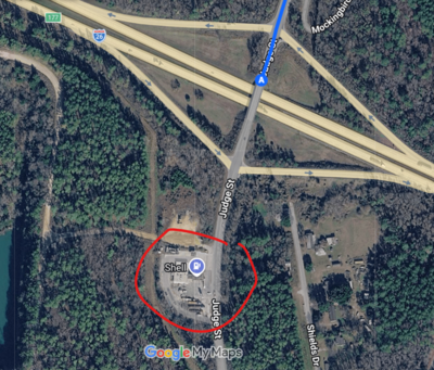
Saturday: Meet up in Harleyville on I-26 @9:00AM at the Shell at Exit 177 and ride the SCAR counterclockwise toward I-77 along the Northeast Route.

Stay in Florence at the Comfort Inn & Suites
Comfort Inn & Suites Florence Center Area
527 Woody Jones Blvd, Florence, SC 29501
https://maps.app.goo.gl/Di7WNa1j6hxpQESD8
Sunday: Hop back on the trail and head back toward Columbia. Go as long as we dare.
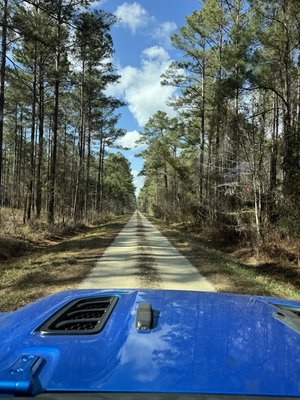
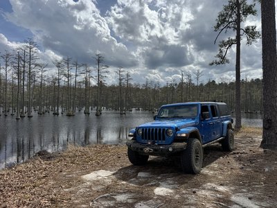
The South Carolina Adventure Route (SCAR) loops through approximately 1,000 miles of rural South Carolina. Follow it, and you will see mountains, ocean, forests, countryside, state parks, historical sites, and quaint towns--all on a mix of paved and un-paved public roads (approximately 55%/45%). The SCAR also connects to the Smokey Mountains 500, the Georgia Traverse, and the Trans-America Trail (TAT), providing TAT riders with an additional rural coast-to-coast option. SCAR GPS files (.gpx tracks) are available on the "Download" page of this site.
https://www.scadventuresroute.com/interactive
Saturday: Meet up in Harleyville on I-26 @9:00AM at the Shell at Exit 177 and ride the SCAR counterclockwise toward I-77 along the Northeast Route.
Stay in Florence at the Comfort Inn & Suites
Comfort Inn & Suites Florence Center Area
527 Woody Jones Blvd, Florence, SC 29501
https://maps.app.goo.gl/Di7WNa1j6hxpQESD8
Sunday: Hop back on the trail and head back toward Columbia. Go as long as we dare.
The South Carolina Adventure Route (SCAR) loops through approximately 1,000 miles of rural South Carolina. Follow it, and you will see mountains, ocean, forests, countryside, state parks, historical sites, and quaint towns--all on a mix of paved and un-paved public roads (approximately 55%/45%). The SCAR also connects to the Smokey Mountains 500, the Georgia Traverse, and the Trans-America Trail (TAT), providing TAT riders with an additional rural coast-to-coast option. SCAR GPS files (.gpx tracks) are available on the "Download" page of this site.
https://www.scadventuresroute.com/interactive
Last edited:
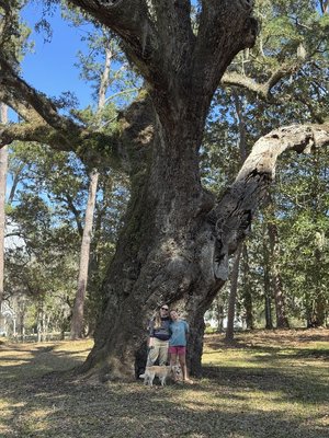
 , and then boogied Sunday due to the church fire. Had a great time, good to see familiar faces!